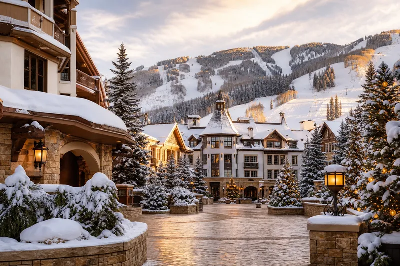
Park City
Fly into Salt Lake City
Salt Lake City International Airport is the main commercial airport for Park City. Drive time varies with canyon traffic, weather, and the final lodging district.
Getting here
Salt Lake City International Airport and I-80 form the usual approach. Parleys Canyon weather and traffic can change the drive, so check UDOT before departure and match the vehicle or transfer to your lodging district.
Airport, canyon road, and resort-base choices
Compare Salt Lake City airport, Kimball Junction, Main Street, Canyons Village, Deer Valley, and the Guardsman/Heber side before choosing shuttle, rental car, or winter-drive timing. The map is planning context — check live road and canyon conditions before departure.
Park City
Salt Lake City International Airport is the main commercial airport for Park City. Drive time varies with canyon traffic, weather, and the final lodging district.
Park City
I-80 climbs through Parleys Canyon. Review UDOT cameras and restrictions before leaving the valley, especially during an active storm.
Park City
An airport transfer plus fare-free local transit can cover Old Town and many resort stays. A car is useful for Kimball Junction, groceries, and regional excursions.
Park City Transit serves the city without a fare. High Valley Transit covers regional connections in the Snyderville Basin, including Kimball Junction. Confirm the current route and stop nearest your lodging rather than relying on an old hotel shuttle description.
Guardsman Pass and other high mountain roads are seasonal choices, not dependable airport approaches. Use I-80 unless current UDOT and county sources support a different route for the day you travel.
Check I-80, Parleys Canyon, incidents, cameras, and winter road conditions before leaving Salt Lake City.
Use the fare-free city network for Main Street, Old Town, and resort-area connections.
Check regional routes and current service between Kimball Junction and the wider Snyderville Basin.
Second Star gear guide
Road Trip Essentials
Road-trip packing list
Phone mounts, coolers, emergency kits, chargers, packing pieces, and glovebox backup for scenic drives and weekend routes.

Car Phone Mounts
$26.99

Road Trip Coolers
$275.00

Car Emergency Kits
$69.95
Keep exploring
Park City makes the most sense when you compare it with Deer Valley next door and a few Colorado ski-town alternatives.